DISCOVERIES
GETAWAYS ALONG THE SEVRE NANTAISE
Hiking and walking are among the favorite leisure activities of the French People and
what could be more attractive than exploring the Sèvre Nantaise which will be for you
the opportunity to discover unique places while embarking on the vast adventure of
life with its radiant landscapes which seem to reproduce in life-size the particularities
of existence expressed by the meanders of its course and its gentle undulating banks.
Last major tributary of the Loire and taking its source at an altitude of 215 meters on the Gatines plateau in parallel to
its arms located in the communes of Neuvy Bouin and Beugnon in the department of Deux Sévres,the Sèvre Nantaise
crosses 4 departments including, in addition to Deux Sèvres, Vendée, Maine et Loire and The Loire Atlantique then
flows into the Loire near the Nantes Sud district. This place steeped in history has a particular configuration since in the
18th century the Sévre Nantaise had part of its waters which extended towards the southern arm of the Loire which
was called the Seil and which at the time formed a reservoir which flowed downstream of the river to then join the main
branch of the Loire river just near the village of Trentemoult.During this period and until the mid-1950s during the 20th
century, the Sèvre was also a route navigable for transporting wine and sand downstream and cereals, lime, wood and
stones upstream in addition to a transit service for the transport of passengers which lasted from 1899 to 1960. With a
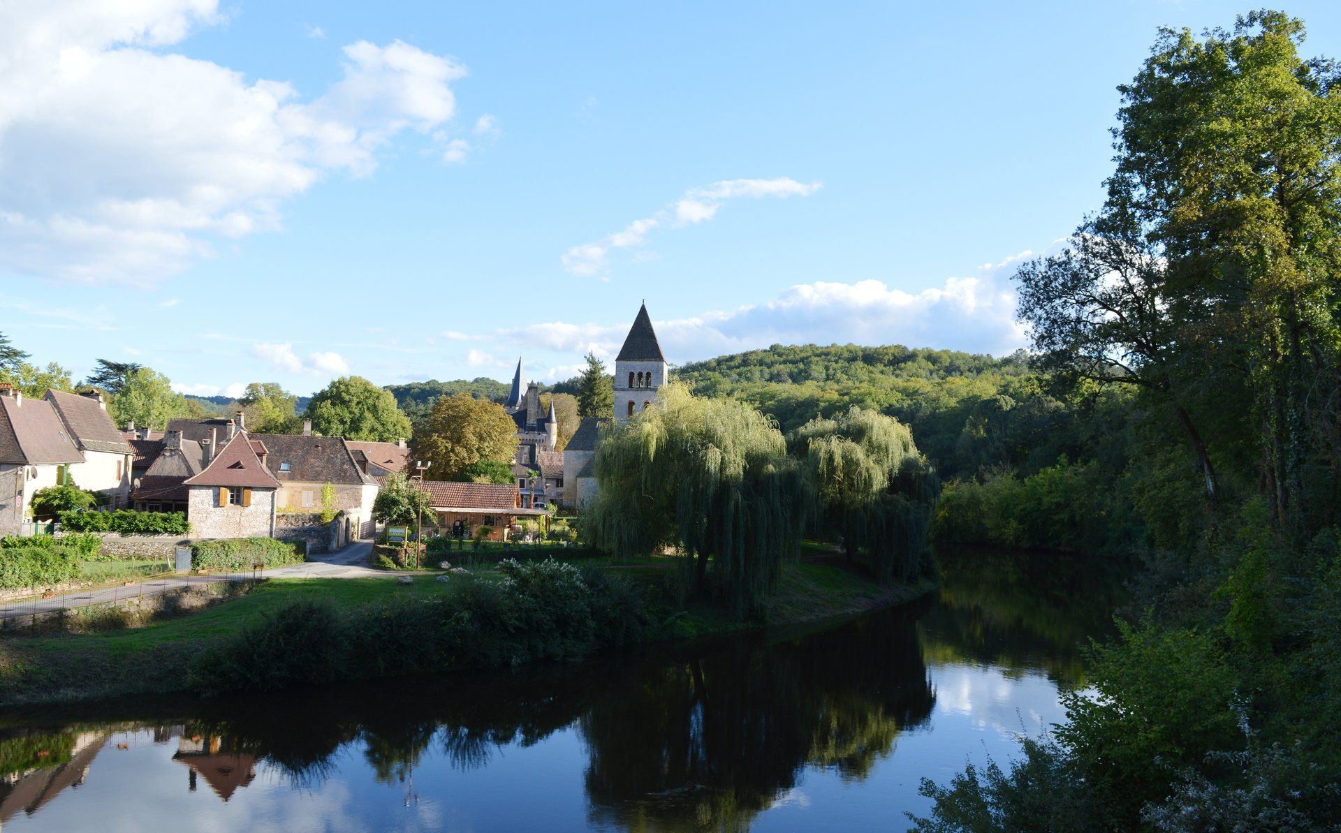
course harmoniously configured, the Sèvre Nantaise covering 4 departments over a length of 141.8 kilometers is a shimmering river that it is pleasant to discover whether by canoe, kayak, on foot or during mountain bike getaways along its well-developed banks suitable for hiking enthusiasts.
Beautiful walks through the landscapes
Endowed with radiant landscapes where magical and magical colors emerge at daybreak that accompany the fauna and
flora, the Sèvre Nantaise also has in its environment a magnificently preserved architectural heritage witness to our history which we observe while crisscrossing its course crossing old locks in addition of well-distributed and easily
accessible sites such as the old “Chaussée des Moines à Vertou”, the Port of La Haie Fouassière like the Castle Of
Clisson near the Garenne Lemot estate in parallel with the 143 mills which stand on the banks of the Sévre which it is interesting to admire in their particularities which inspire calm and serenity.Travelling the Sèvre Nantaise alson means
discovering its terroir and its particularities, particularly wine-growing, which are the cradle of the Muscadet Sévre et Maine appellation, named after the two rivers which flow through its the Sèvre and the Maine and whether in La Haie
Fouassiere, Le Pallet or in Gorges, traveling through these places full of emotion and know-how is delightful in addition to the winegrowers who welcome you in their cellars for a commented tasting and friendly and whether on foot,by bike
or aboard a pleasure boat of a size adapted to the specificities of the river, crisscrossing the Sèvre Nantaise is great with beautiful walks through the landscapes complemented by their attractions enhanced with traditions and of a heritage expressing all that nature has at its most noble.
Report: Gabriel PAGE
Photos credit: Gabriel PAGE
Traveling through the Sèvre Nantaise and the Vignoble de Nantes is discovering unforgettable places and radiant landscapes that I invite you to consult by clicking on the URL link on our website.


